Line Métro METRO_2
To know the current and future disruptions on your line, consult the traffic information
Metro line 2 runs between Porte Dauphine and Nation. Find here the line map and timetables.
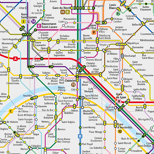
Map of Metro Line 2
 Copyright - RATP
- Porte Dauphine (connection: RER C)
- Victor Hugo
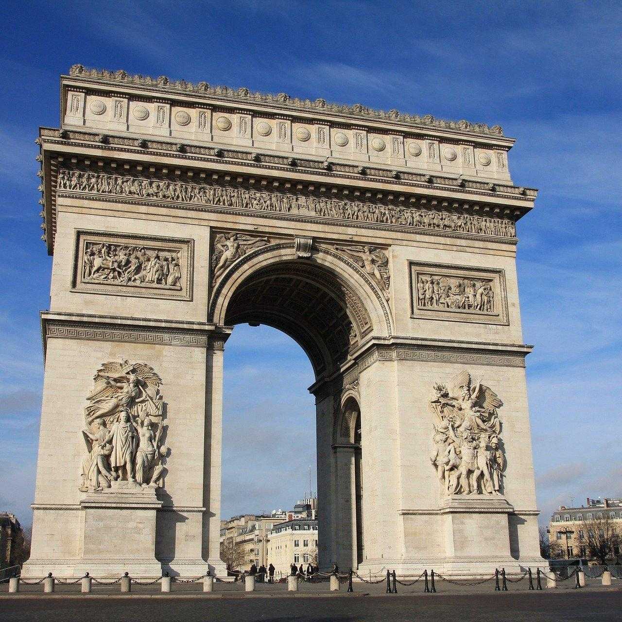
- Charles de Gaulle - Étoile (connections: RER A, metro 1, metro 6)
- Ternes
- Courcelles
- Monceau
- Villiers (connection: metro 3)
- Rome
- Place de Clichy (connection: metro 13)
- Blanche
- Pigalle (connection: metro 12)
- Anvers - Sacré-Cœur (connection with walking: Funiculaire de Montmartre)
- Barbès-Rochechouart (connection: metro 4)
- La Chapelle (connections: RER B for CDG and Orly airports, RER D, RER E, line H, line K via Gare du Nord)
- Stalingrad (connections: metro 5, metro 7)
- Jaurès (connections: metro 5, metro 7bis)
- Colonel Fabien
- Belleville (connections: metro 11)
- Couronnes
- Ménilmontant
- Père Lachaise (connection: metro 3)
- Philippe Auguste
- Alexandre Dumas
- Avron
- Nation (connections: RER A, metros 1, 6 and 9)
RATP / CML / Cartographic Agency - PLM 08.2012
Schedule of Metro Line 2
Plan your trips in our route search.
Planned works on the line
Choose your travel day and find all the works on the Metro 2.